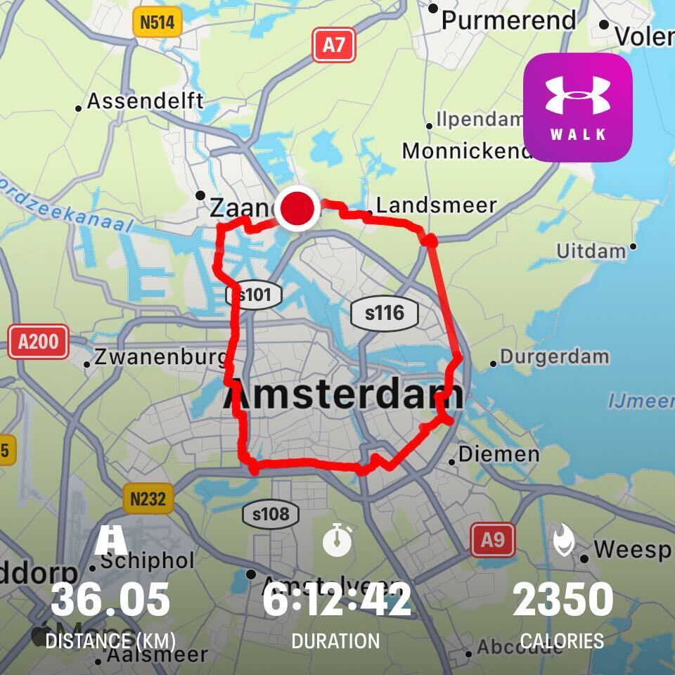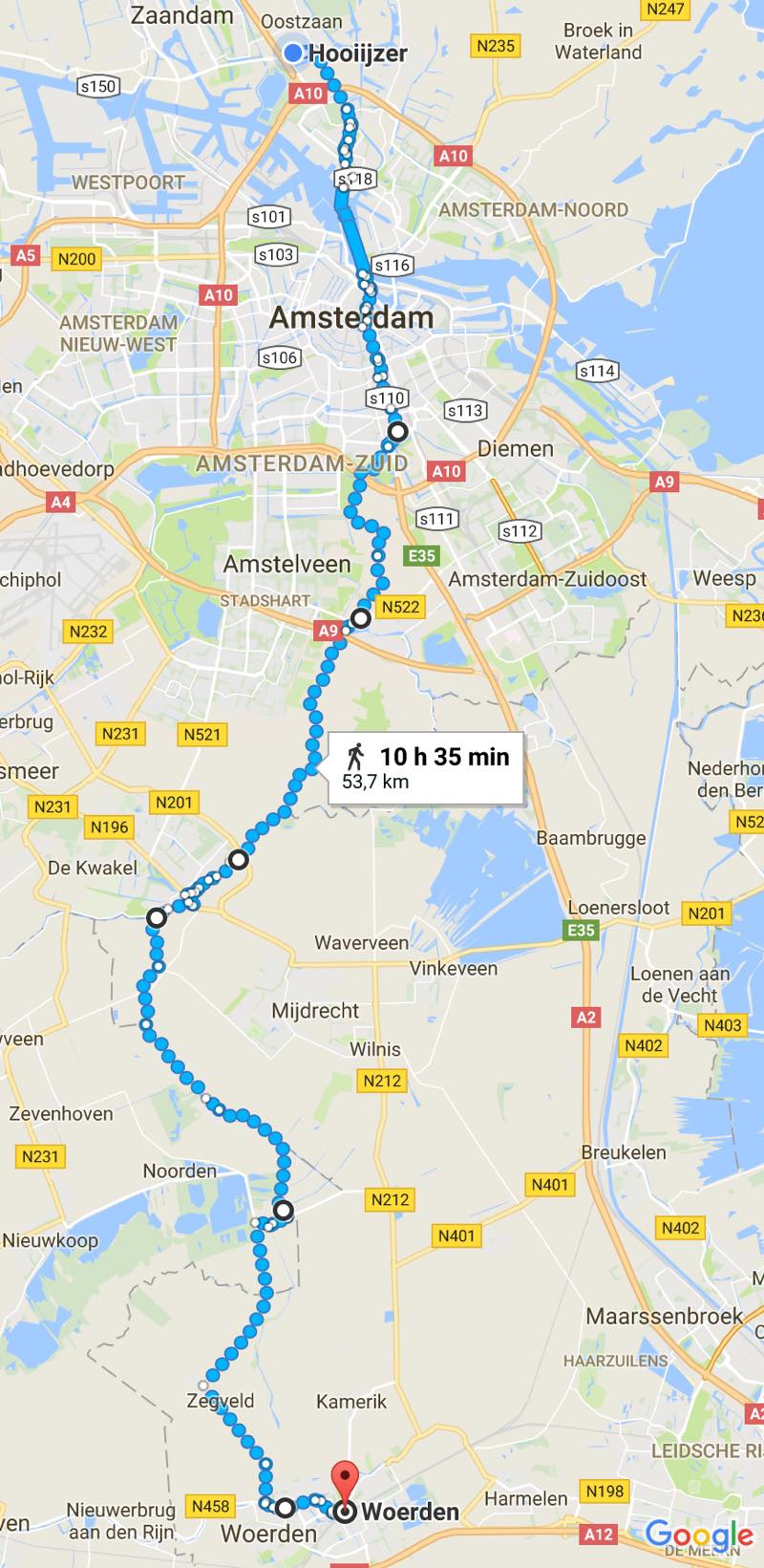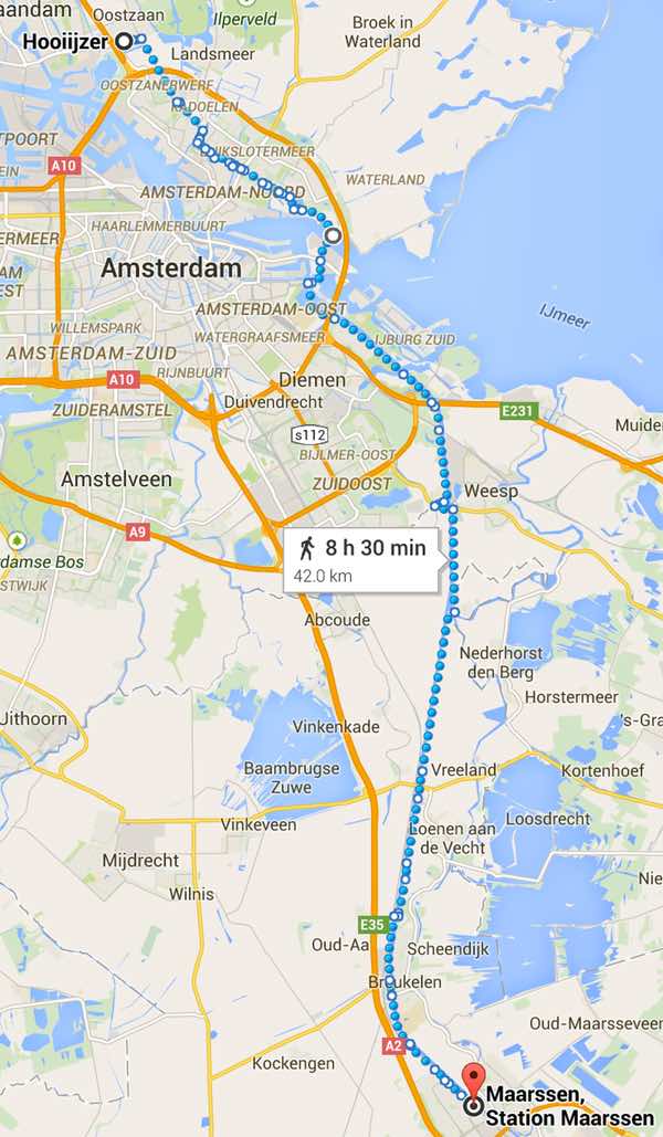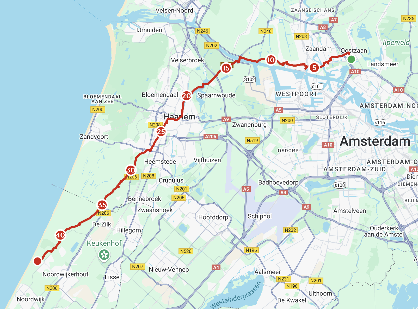
Actual walking time 7h 25m, total elapsed time 8h 29m (last year: 6h 44m and 7h 44m respectively). Various reasons for being slower this year. For one, I haven’t been taking a regular daily/lunchtime walk for the last month or two, so I’m not in practice. (The lack of a daily walk is a habit I want to address.) The second (big) factor is because I was listening to podcasts rather than music for this walk. (I had saved up some episodes of 99% Invisible and Imaginary Worlds.) Walking to the beat is very good for maintaining pace. Walking to podcasts isn’t.
These two things are connected. I’m not under a lot of external stress at work, but I’m still new in the job and I want to do well. I’ve been doing silly things like skipping lunchtime walks and not maintaining good sleep hygiene. This last week was particularly bad, as I was trying to round off a piece of work that was taking me longer than I felt it should. I was feeling fatigued, and I wasn’t looking forward to doing a marathon walk. I’ve started treating it as an annual tradition, but I’m always wary of traditions turning into obligations. I mentioned to Abi that this year it was feeling much more like Type 2 fun rather than Type 1 fun. As a result, I decided to walk with some podcasts for enjoyment myself while I was doing something else less fun (walking).
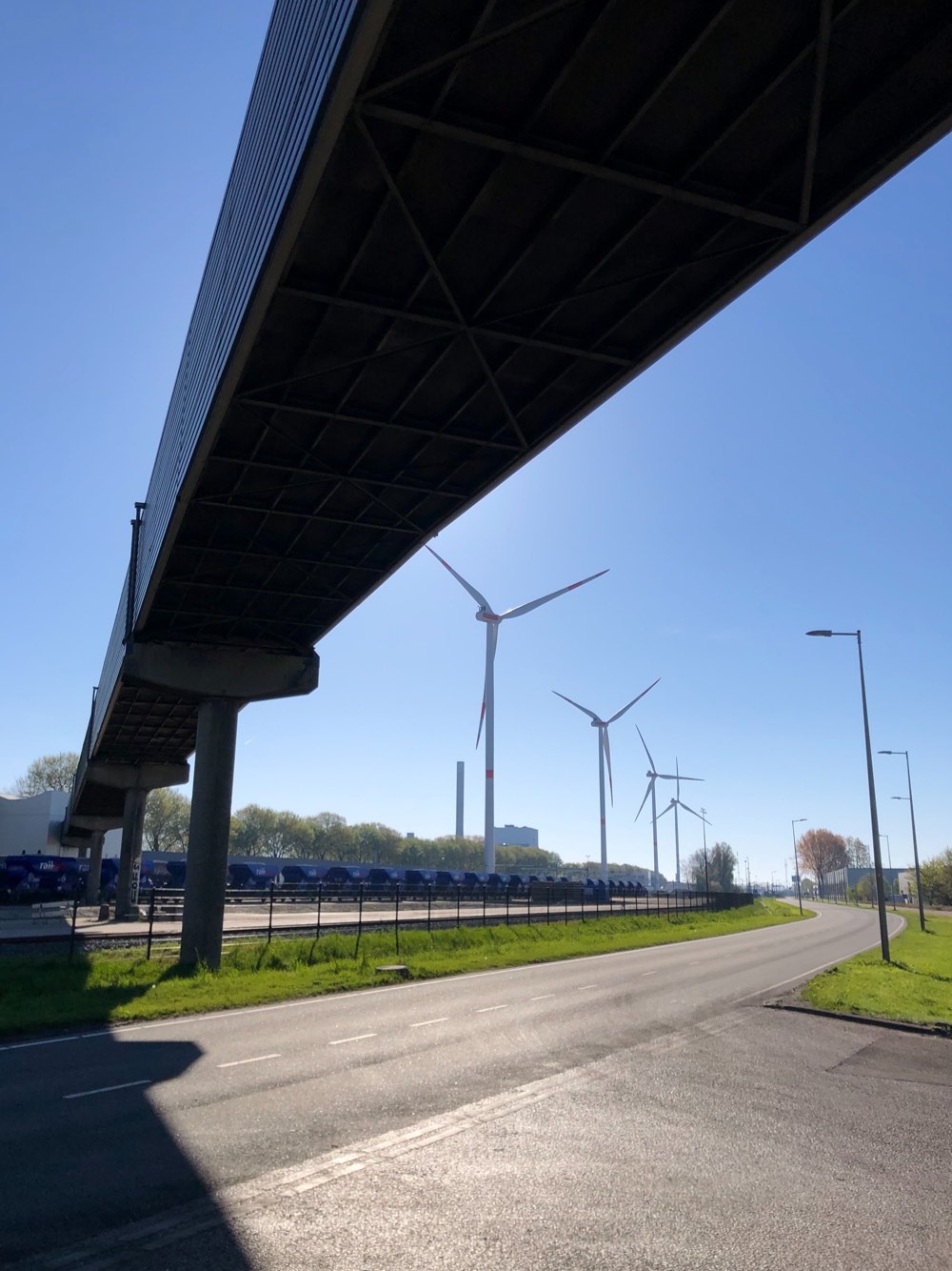
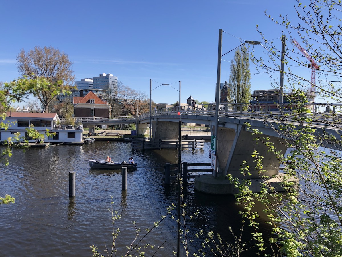
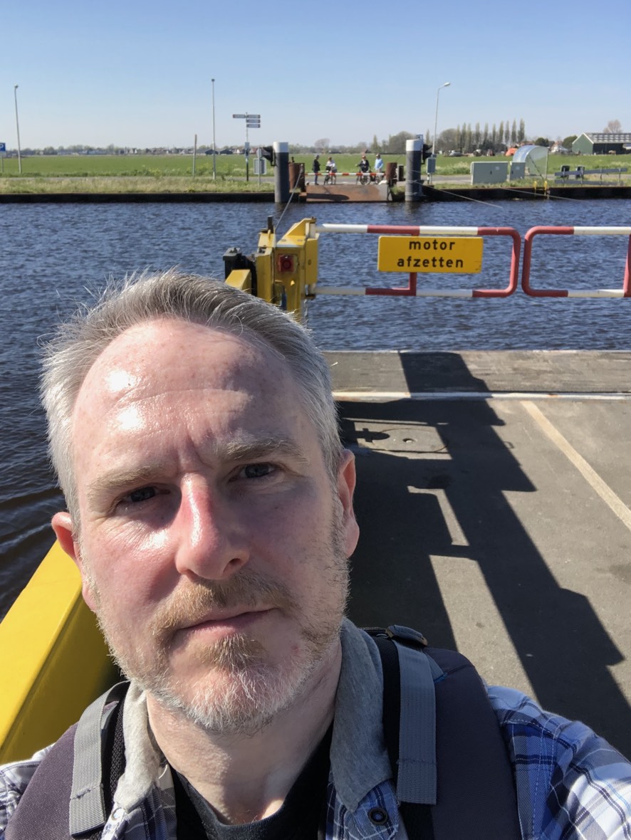
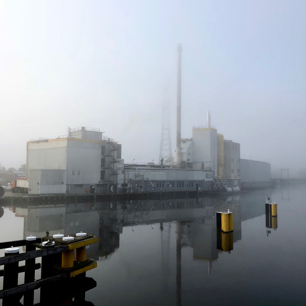
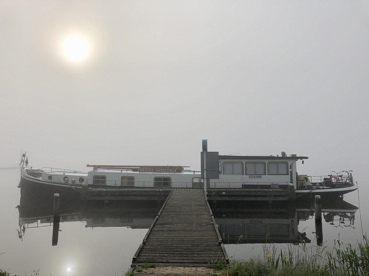
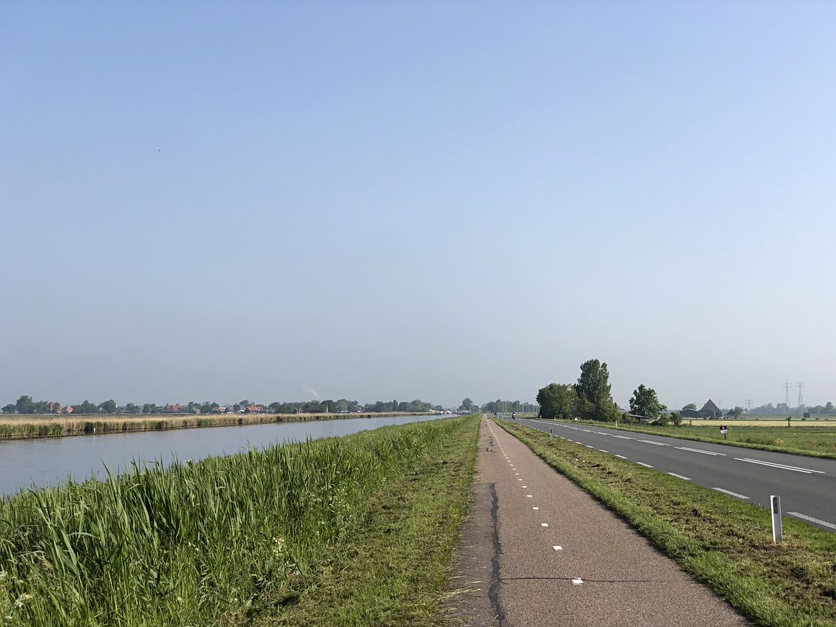
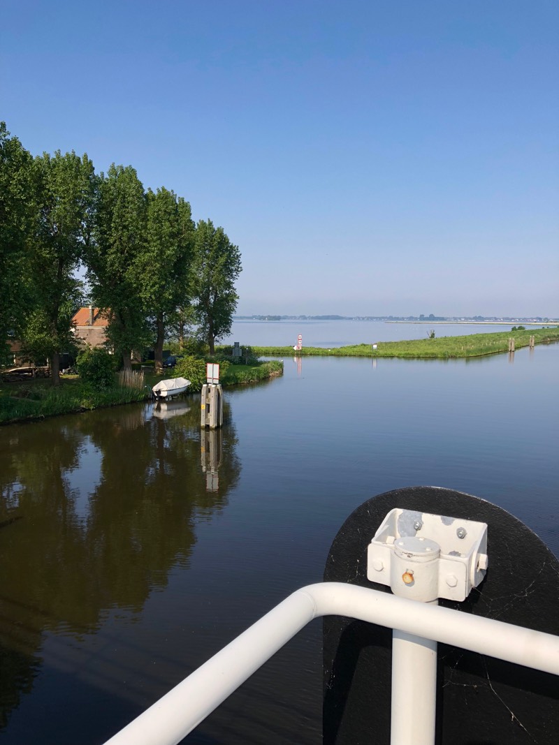
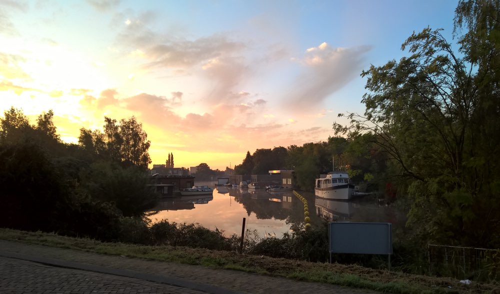
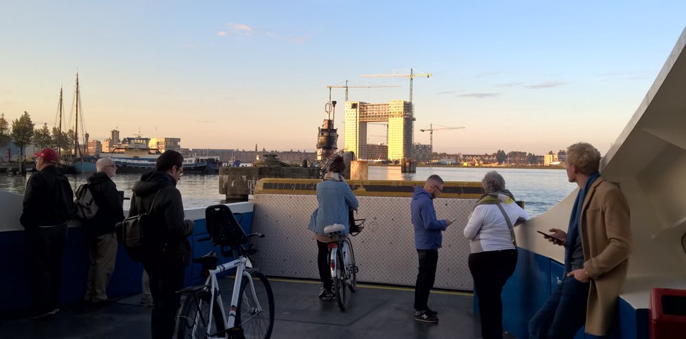
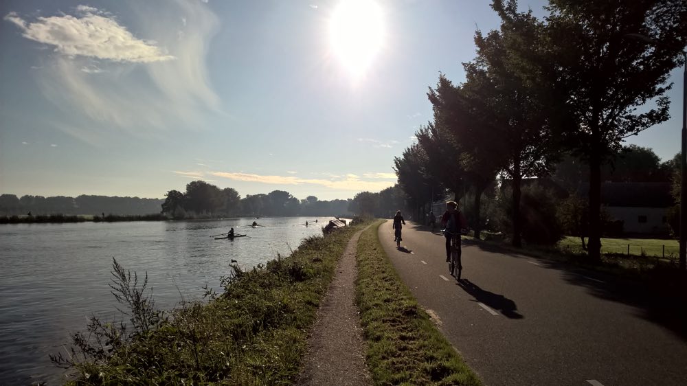
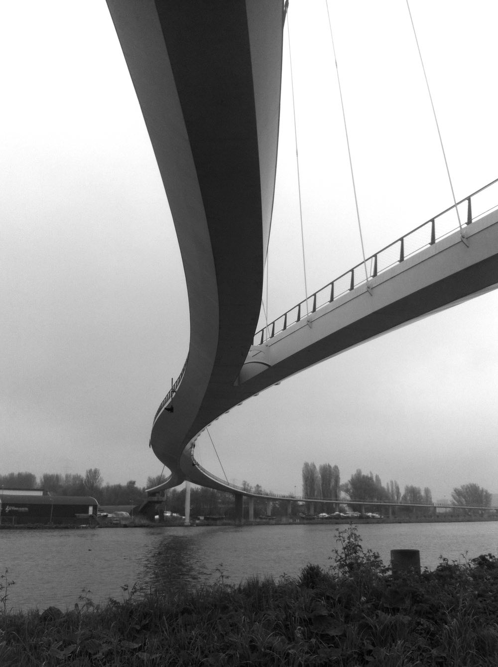
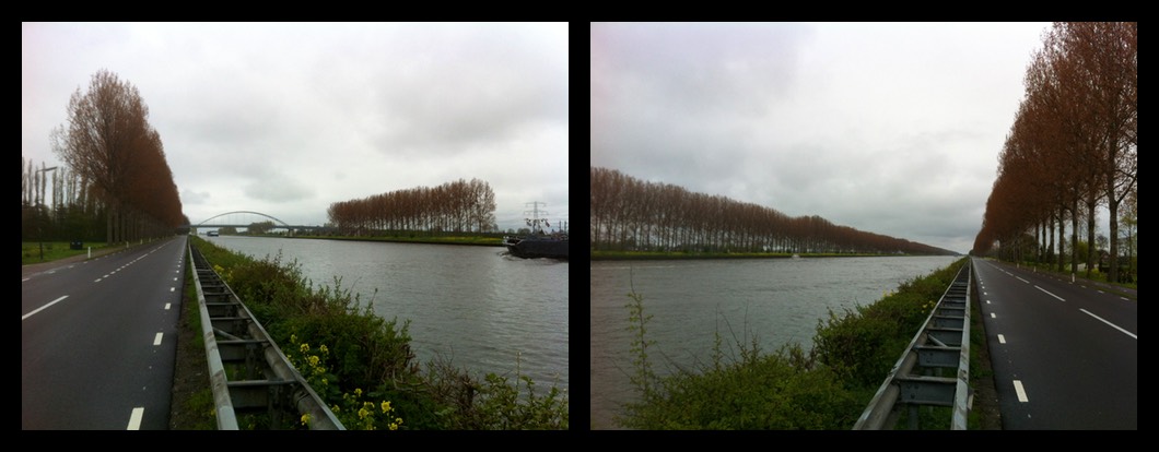
As it turned out, the walk started off pleasant, and turned very nice. The weather was cool (6-14°C) but sunny. I left the house at 06:49 as the sky was still waking up. I walked through Poelenburg and over the Den Uylbrug towards the Noordzeekanaal. Google Maps’ walking directions were not helpful after that point. There is temporary floating housing for asylum seekers on the Gerrit Bolkade just before it curves round to the Noordzeekanaal, and the path next to the road is closed to cyclists and pedestrians, so I had to take a detour. Further along the canal, the directions had me walking along the grassy verge of the Westzanerweg, crossing the Nauernasebrug (not suitable for pedestrians), and then choosing between the grassy verge or the grassy dyke along the Nauernaseweg. I should know better. I’ve walked to that ferry before, and on bike or on foot it’s much better to take the slightly longer detour north up to Nauerna. By the time I got to the ferry, my feet were wet from walking in the dewy vegetation, and I was feeling a bit grumpy as a result.
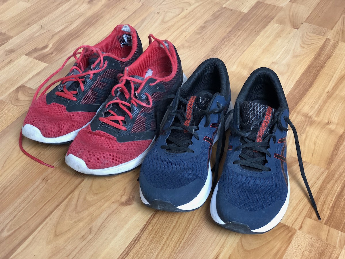
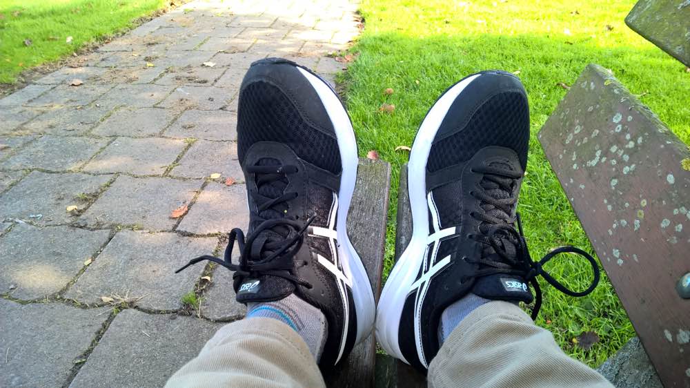
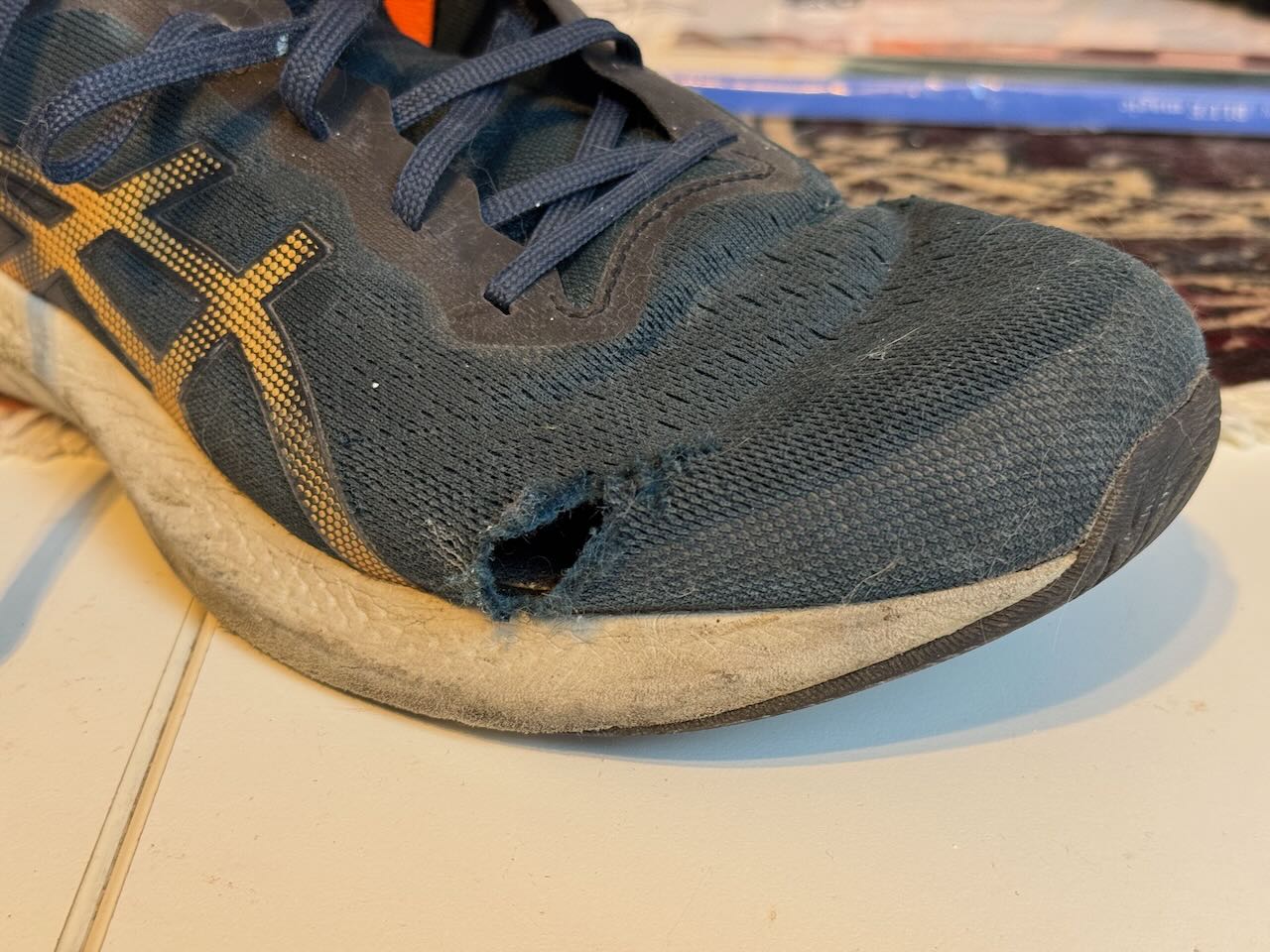
I terms of shoes, in previous years I’ve tended to buy a new pair of walking shoes and to break them in before a long walk. This year I stuck with the Asics Gel-Pulse 15 I bought last year. These shoes have lasted a lot better than my previous Asics shoes. I like them because they’re lightweight and breathable, but the mesh upper seems to have a particular failure mode near the little toe. My last several pairs have all started to develop a tear before they were a year old. Maybe Asics have changed the material or design a bit, but this year: no tear. (I don’t think it’s that I’ve used them less. I did a lot of walking while I was off work last summer and autumn.)
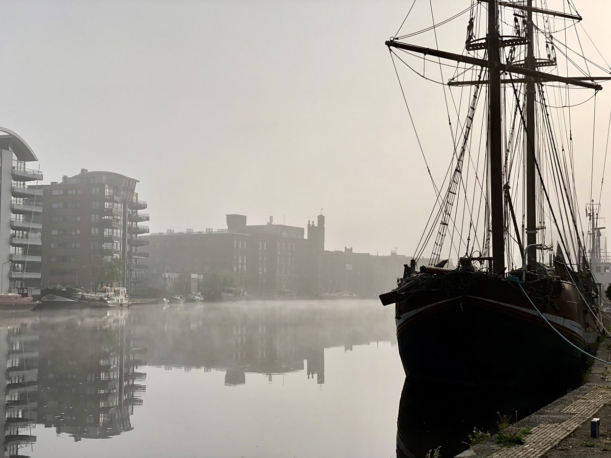
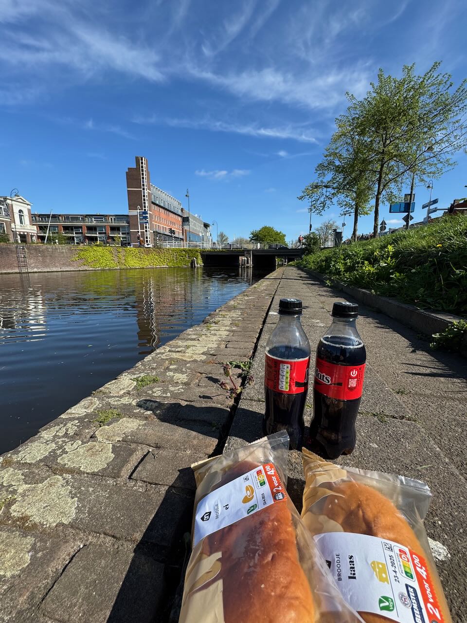
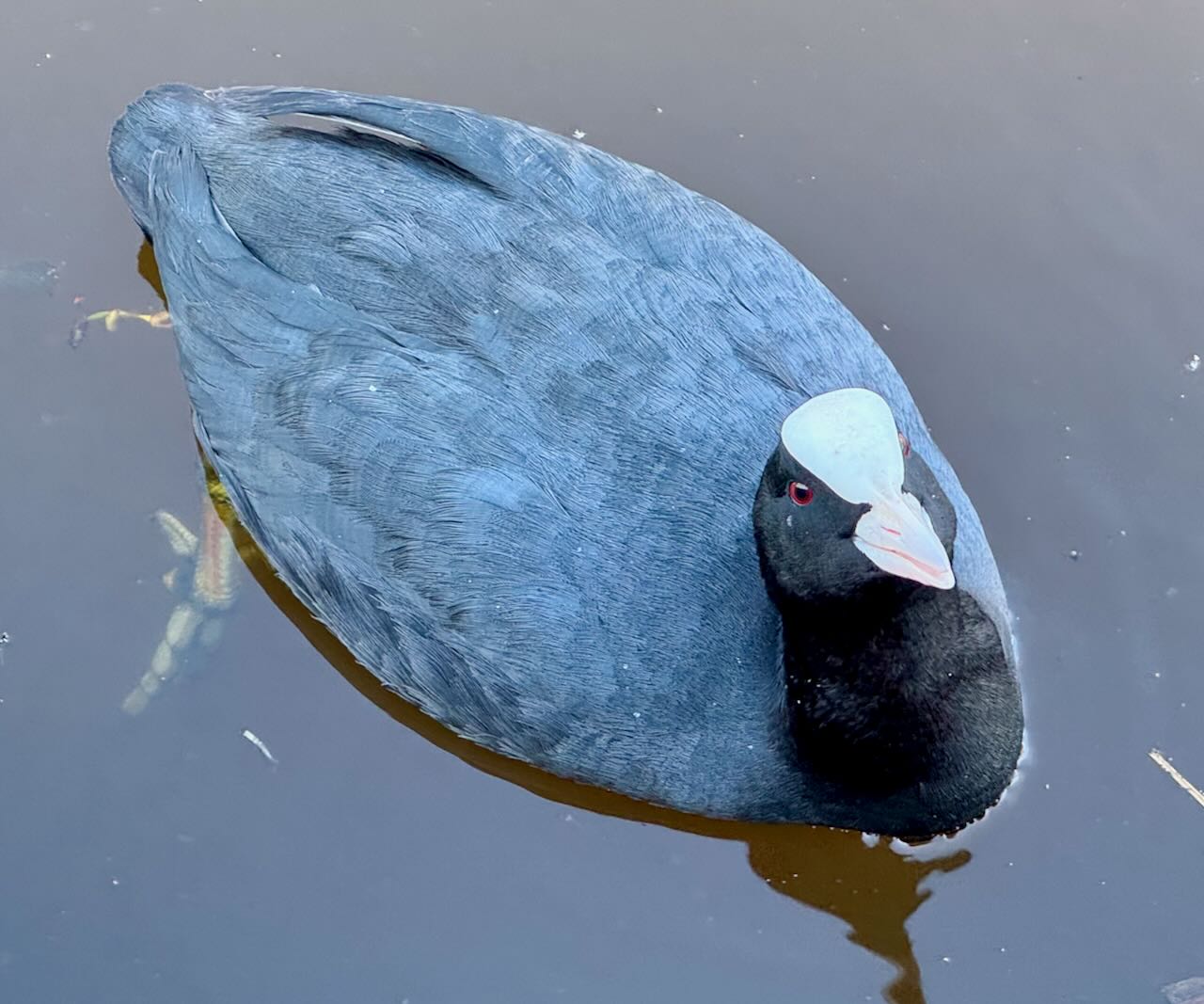
After crossing the Noordzeekanaal I continued on somewhat moist feet through Sparndam towards Haarlem. I stopped just after 11:00 to get some breakfast and ate it on the Leidsevaart, just opposite Patronaat where Alex & I had seen Delta Sleep just the other week. Just as the last few years, I was walking without a backpack – just a bank card, a phone, earbuds, and a few other pocket items. Long distance walks in the Netherlands pretty much always take you past a supermarket, a petrol station, a café or a rest stop where you can get a snack. A super friendly coot swam up to the edge of the water and kept me company.
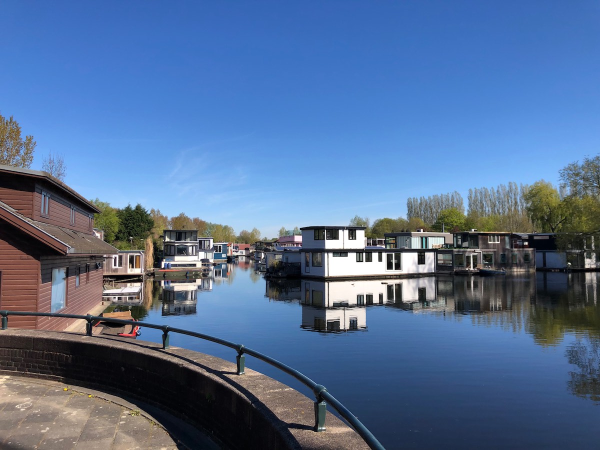
Taking a rest in Haarlem gave me a chance to dry out my socks and shoes a little bit, and to tape up my feet where I was developing some blister hot spots. (Medical tape is one of my essential pocket items on a long walk.) Then I carried on south along the Leidsevaart (Haarlem is lovely) and entered the dunes for the last third of the walk.
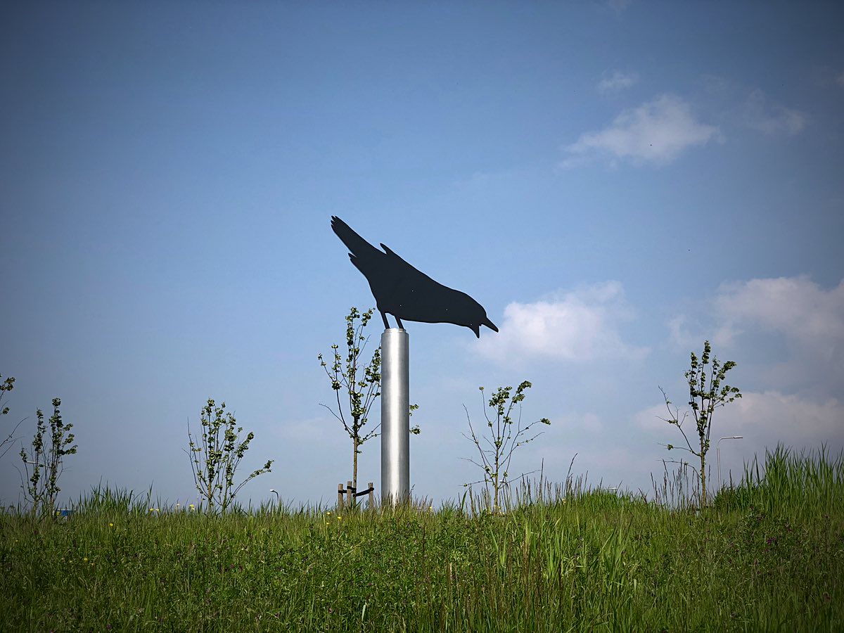
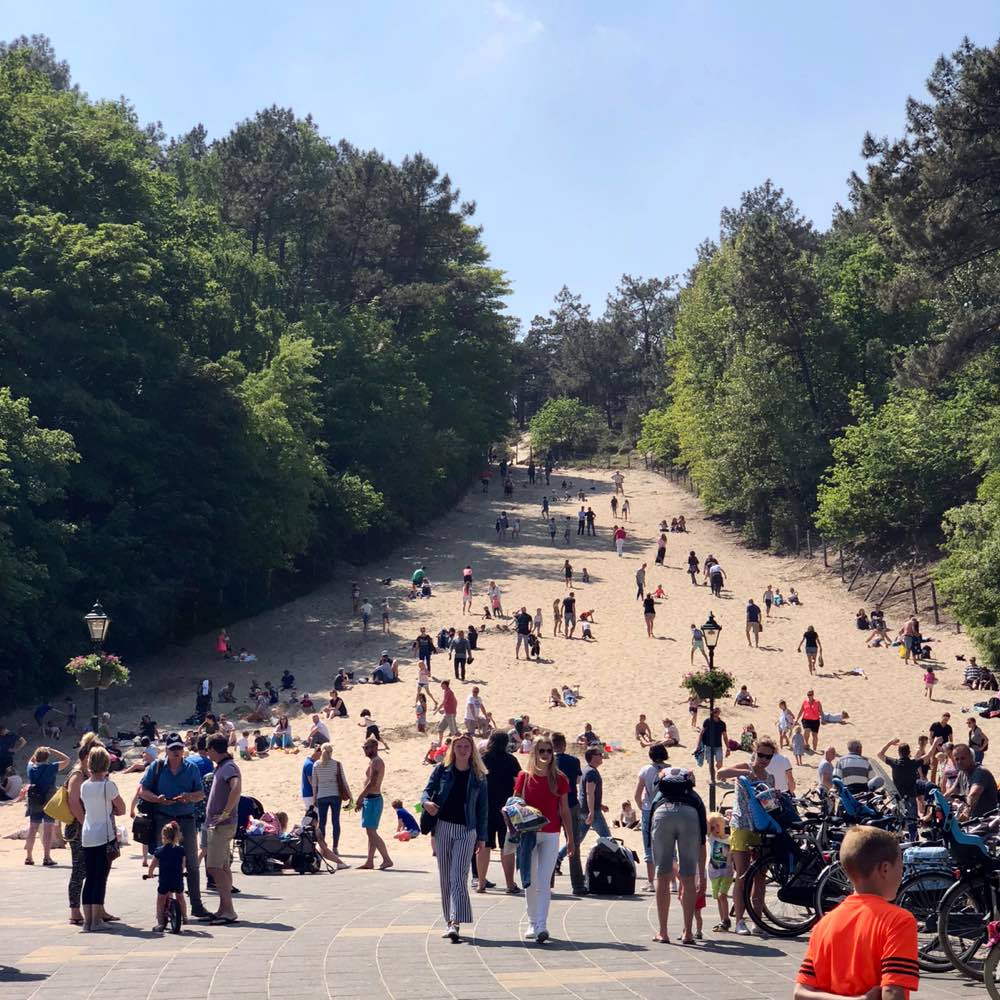
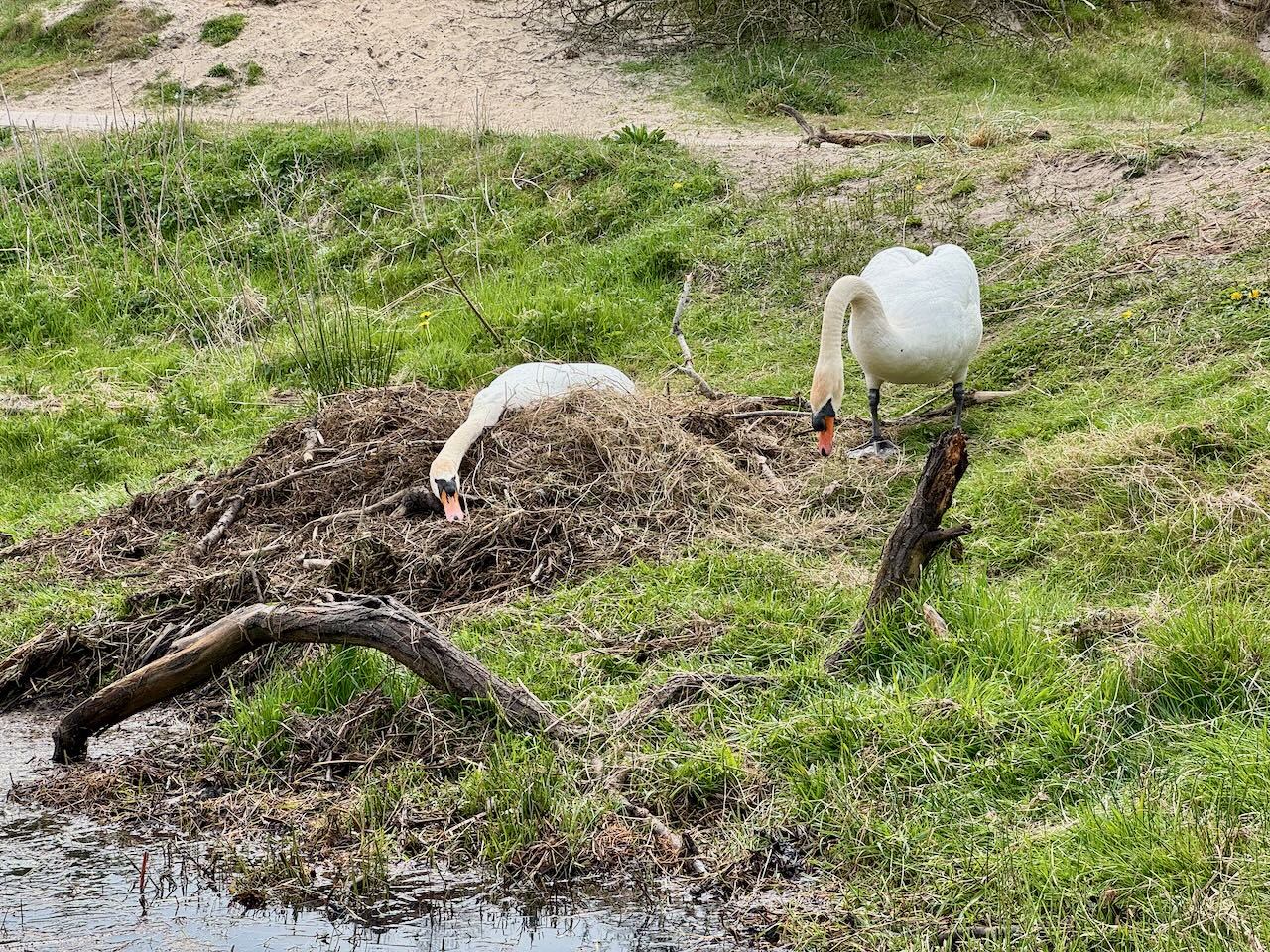
We had gone to the dunes with Patrick and Teresa for a short walk last year, but it’s not an area I’ve spent a lot of time. It’s beautiful! I stopped for something to drink at café ‘t Panneland, which looks like a great jumping-off point for day trips and little expeditions. Then I walked a stretch along the banks of the Oosterkanaal, which is quiet because it’s a little off the main walking tracks. A pair of swans were nesting at one of the crossings. Swans are big. Lots of other birds to see here as well. I definitely need to come back.
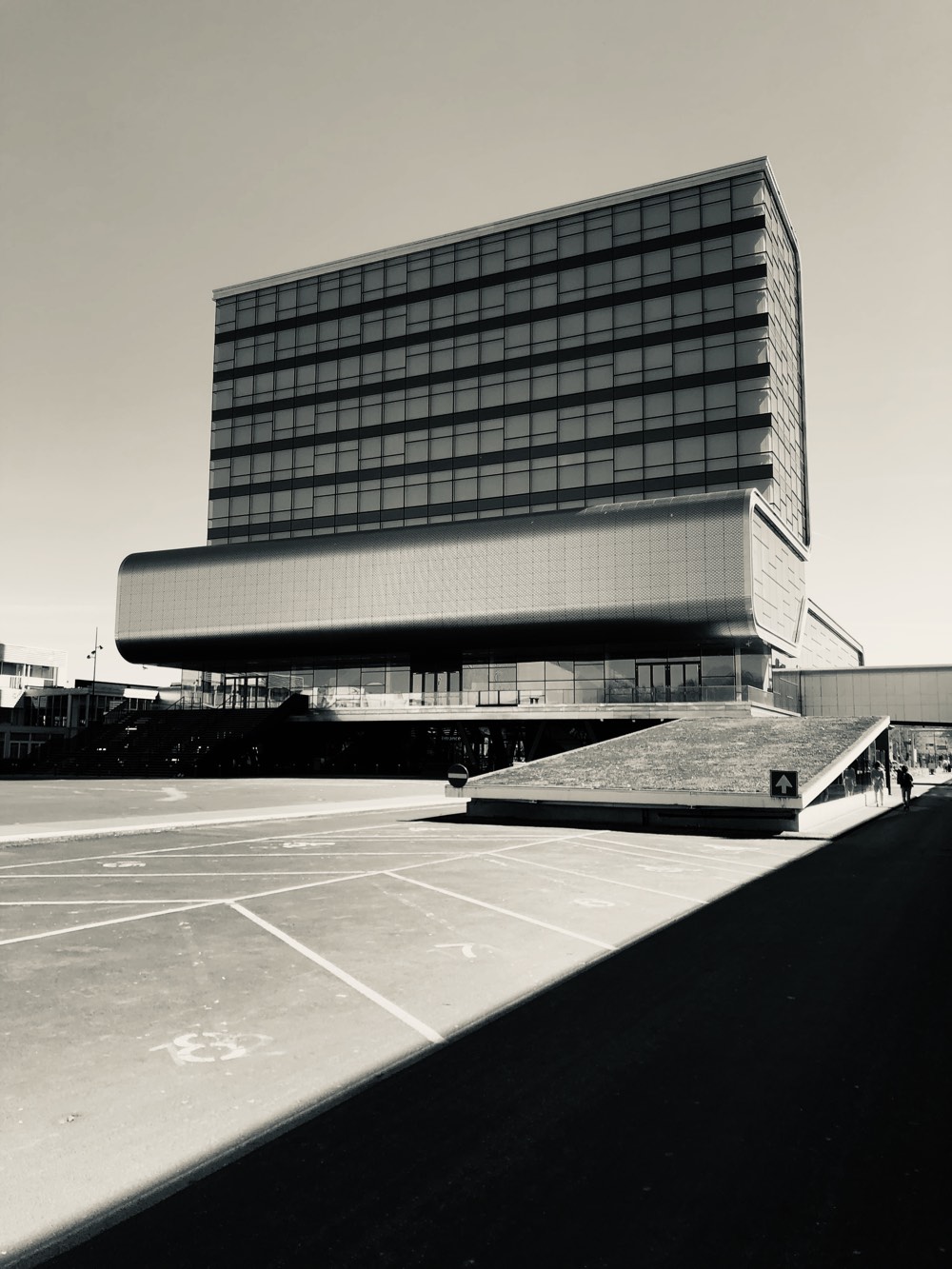
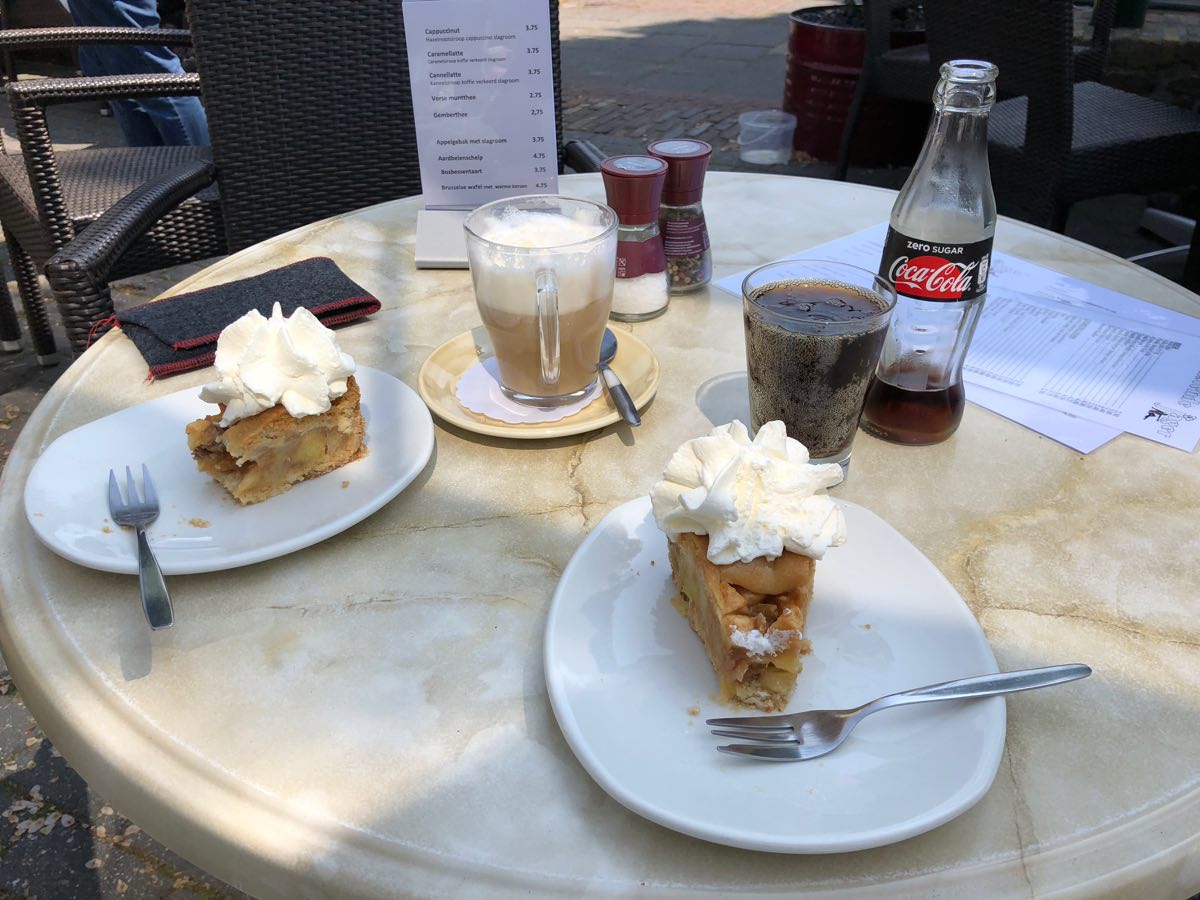
I hit the marathon distance at 15:18, still in the dunes. My end goal was the lighthouse at Noordwijk, so I still had a few kilometers left to go. I took the rest of the way at a leisurely pace, and treated myself to a large strawberry milkshake from the snackbar near the lighthouse. Abi arrived to meet me shortly after I got there. We wandered over to Strandpaviljoen De Zeemeeuw for a piece of apple pie, then walked along the beach for a bit before heading back to the car and driving home. This is a nice little routine we’re developing: I do a long walk with somewhere pretty as the destination, Abi drives to pick me up at the end, and we have a piece of appeltaart or a light afternoon meal while we’re there, and we discover a new place.
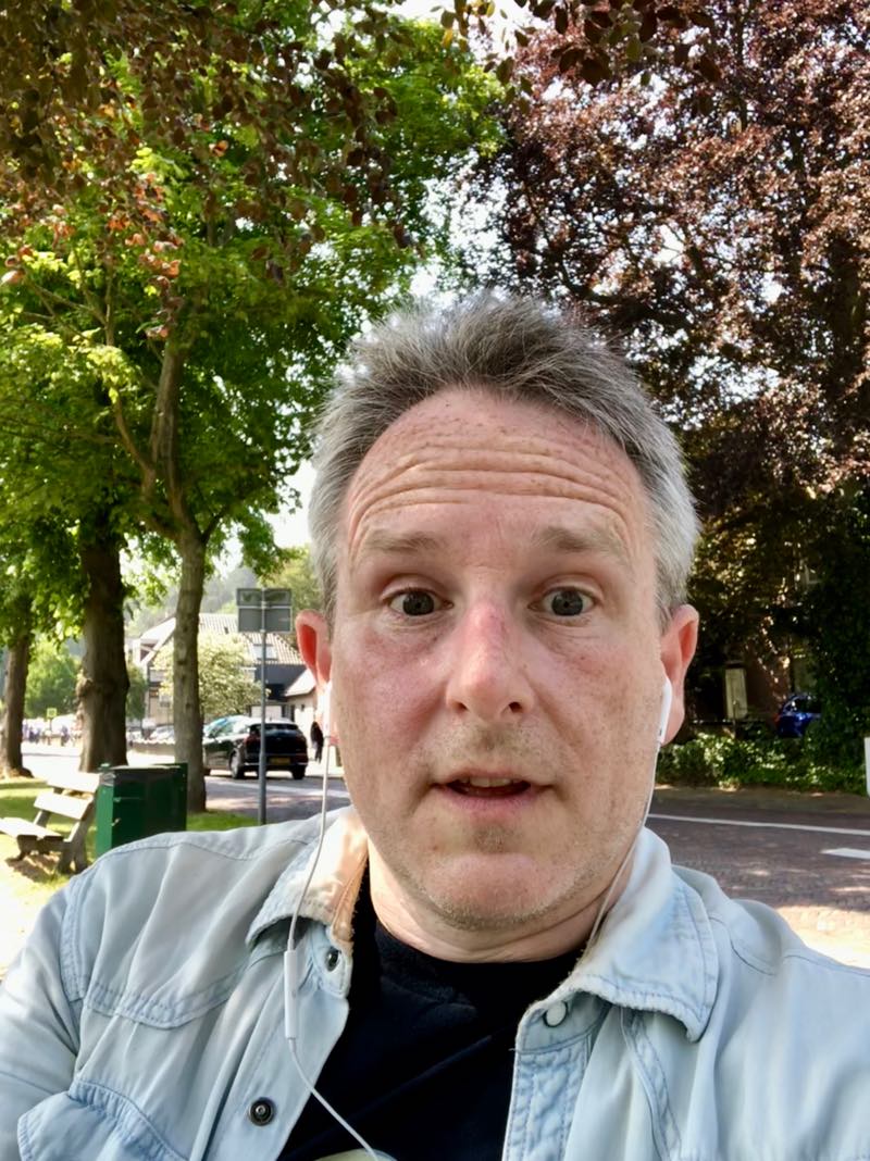
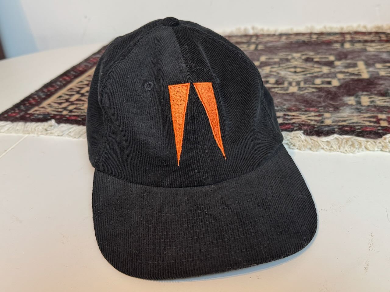
One final note: this year’s main innovation was wearing a cap. I have a bad tendency to forget to wear sun cream, and I lots my nice pair of sunglasses a couple of years ago. I knew I was going to be walking south-ish a lot, with the sun in my face. I could have ordered a cap from just about anywhere, but Alex and I went to a couple gigs in the last few weeks, and I picked up a cap from the merch stand at ASIWYFA in Tilburg. It was a great €25 investment! It’s soft, and has a subtle logo design based on their album Gangs. I did put on sunscreen before I left the house in the morning, but the cap kept the sun out of my eyes and off much of my face. I spent less time squinting and feeling uncomfortably exposed. Definitely recommended.
My legs and knees stiffened up by the end of the evening, but after a good night’s sleep I’m feeling fine this morning. A little stiff and sore, but that’s expected. Minimal blisters. Annual self-check: passed ✅.